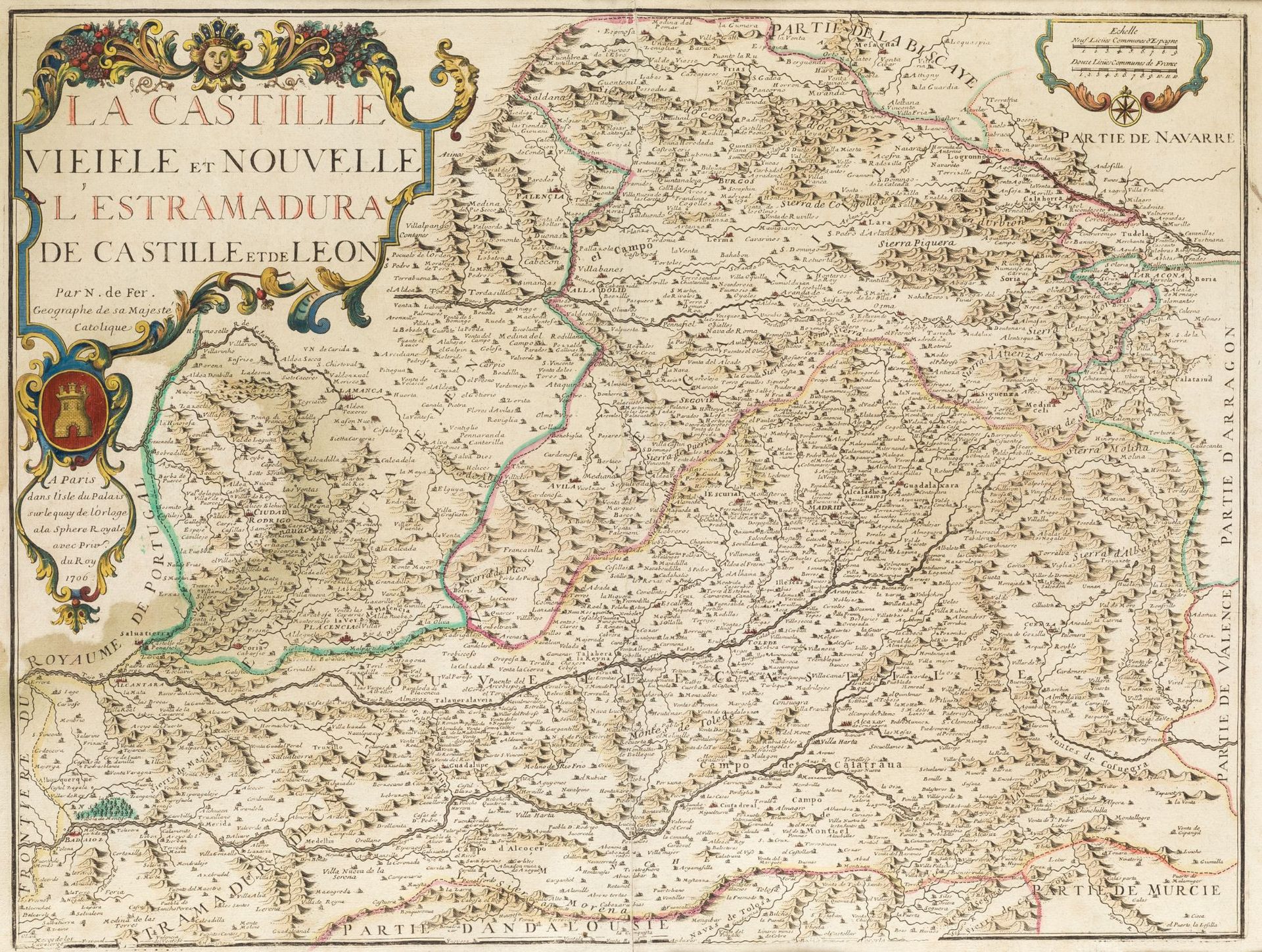
Description
NICOLAS DE FER (1646 / 1720) Mapa de las dos Castillas. Extremadura and southern part of the Kingdom of León, 1706.
Illuminé à la main. Titre, auteur et date dans un cartouche sur une corne d'abondance. . Gravure sur cuivre.Huella : 44 x 58 cm.
500
NICOLAS DE FER (1646 / 1720) Mapa de las dos Castillas. Extremadura and southern part of the Kingdom of León, 1706.